AI-Powered Image to 3D: Turn Photos into Interactive Spaces
February 13, 20261 min read
Our AI analyzes photos and plan images to automatically generate 3D spatial layouts. Upload a photo of any space and watch it transform into an editable 3D model.
From Photo to 3D World with AI
What if you could take a photo of a space — a park, a yard, a commercial lot — and instantly get an editable 3D model? With 3D Builder's AI-powered image analysis, you can.
How AI Image Conversion Works
- Upload a photo or plan image — JPG, PNG, or screenshot from Google Maps
- AI analyzes the image — Detects boundaries, pathways, vegetation areas, and structures
- Generates a 3D layout — Automatically creates walls, terrain, and spatial zones
- Edit and refine — Use our drag-and-drop builder to add details
Use Cases
- Site surveys — Snap a photo on-site and start designing immediately
- Renovation planning — Photograph existing spaces and model proposed changes
- Quick proposals — Turn a satellite image into a landscape concept in minutes
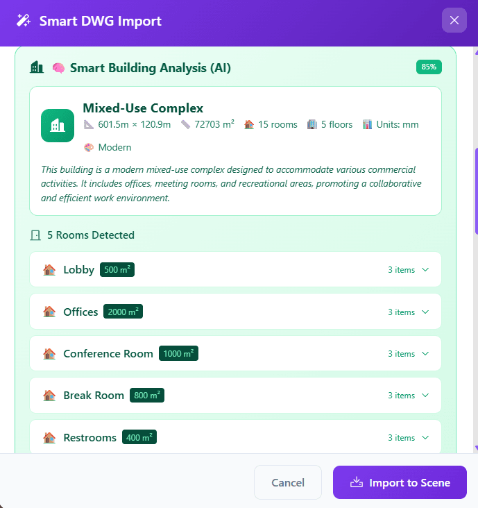
Combined with DWG import capabilities, our AI tools give you multiple pathways from concept to interactive 3D presentation.