3D Modeling for Urban Planning: Visualize Cities Before They're Built
How urban planners use 3D modeling tools to visualize neighborhoods, public spaces, and city developments. Improve stakeholder communication with interactive 3D models.
The Future of Urban Planning is 3D
Cities around the world are adopting 3D modeling to plan smarter, more livable urban environments. Interactive 3D visualizations help planners, politicians, and citizens understand the impact of development decisions before a single brick is laid.
Benefits of 3D Urban Planning
- Public engagement — Citizens can explore proposed developments virtually
- Shadow analysis — Understand how buildings affect sunlight in public spaces
- Density visualization — See the actual impact of zoning decisions
- Walkability assessment — Experience pedestrian perspectives at street level
From Plans to Virtual Walk-Throughs
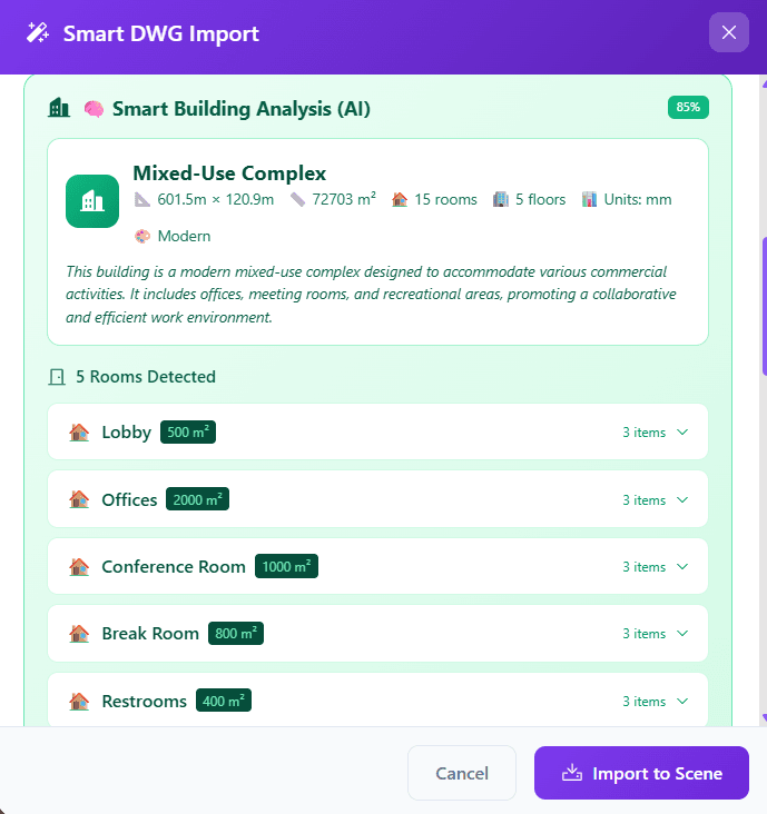
With 3D Builder, urban planners can import DWG site plans and quickly model proposed developments. Add buildings, landscape elements, street furniture, and signage to create comprehensive visualizations.
The first-person walk mode lets stakeholders experience the proposed environment at human scale — something flat renderings can never achieve.